The Kōlea
Institute
Learning with land, sea, and community
across Alaska and Hawaiʻi.
Structure from motion. Understanding from relationship.
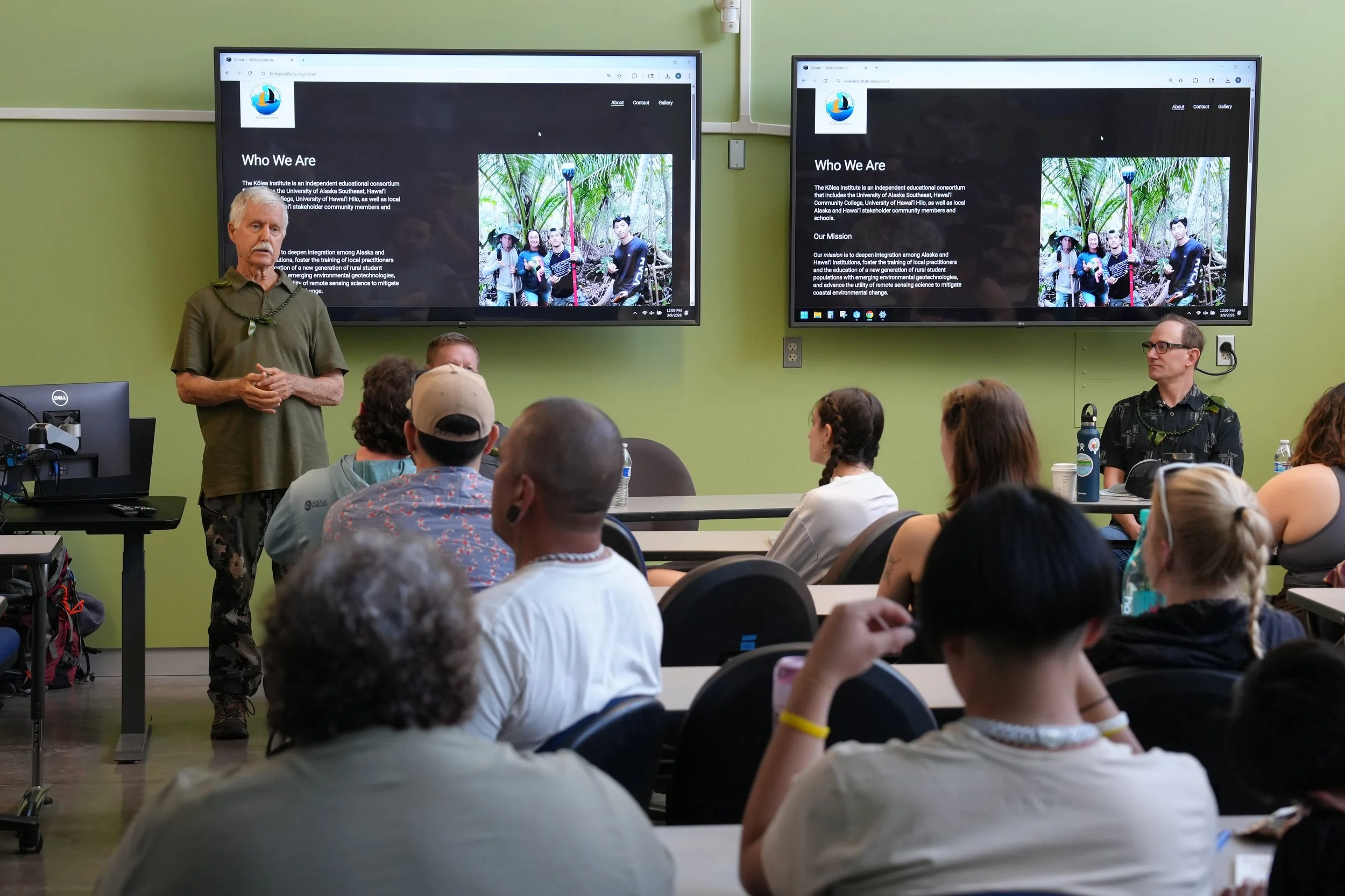
Our StoryThe Kōlea Institute is a field-based geocultural science program bringing together high school and university students from Alaska and Hawaiʻi.
Named for the kōlea, the Pacific golden plover that migrates between these two places each year, the institute trains students in remote sensing and geospatial technologies through direct partnership with the communities and landscapes they are learning with.
Like the kōlea, participants travel to learn, to contribute, and to return home shaped by the relationships and places they encountered.
Learning Together
Community-Led Science
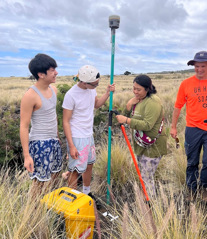
Every field site and experience is chosen because a community partner is already doing work there. Participants bring geospatial tools into that ongoing work by contributing data, capacity, and care to research agendas that communities define and own.
Knowledge on its Own Terms
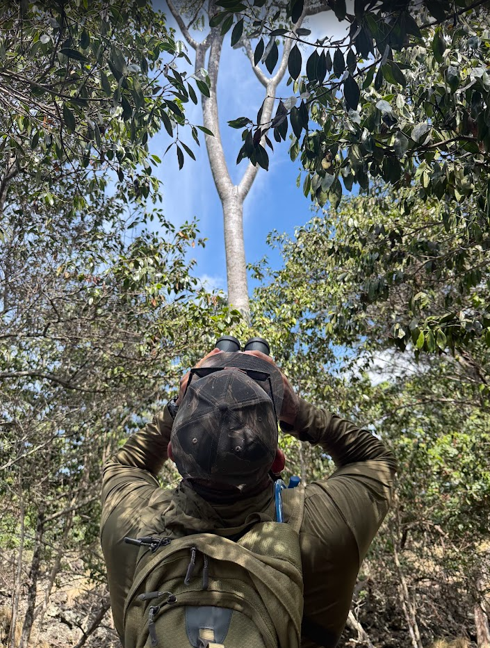
Indigenous ingenuity and ecological knowledge of these landscapes runs far deeper than any map or dataset. The geospatial technologies we teach are powerful precisely because they are brought into relationship with that knowledge, on terms communities set. What gets studied, how data is stored, and who controls it is the foundational work.
Connections That Last
The Kōlea Institute does not treat Hawaiʻi as a destination or Alaska as a starting point. The relationships this program builds between Alaska Native and Native Hawaiian students, educators, and knowledge holders are designed to outlast any single cohort. The network grows each year. So does the responsibility to it.
The Journey So Far
-
The first Kōlea Institute brought together Alaska Native high school students from rural Alaska and undergraduate students from the University of Alaska Southeast and Hawaiʻi Community College for a pilot cross-Pacific learning experience. It was the beginning of something genuinely new: a program that treats geospatial technology and Indigenous ecological knowledge not as separate tracks to be integrated, but as ways of knowing that have always been in relationship — and that, together, can support the communities working to understand and protect their places.
In Year 1, participants worked across Southeast Alaska and Hawaiʻi — learning drone remote sensing, phone-based GPS mapping, 3D photogrammetry, and ArcGIS StoryMaps through projects grounded in community need. Participating high school students produced StoryMaps combining spatial data, 3D renderings, and student-created narratives about their own landscapes within the context of preserving cultural history amongst a new renewable energy project. Three undergraduate students served as mentors, building their own teaching and leadership alongside the pre-college students they supported. Four students carried the work to the regional AISES conference, and going on to receive an Award of Excellence on the national stage.
-
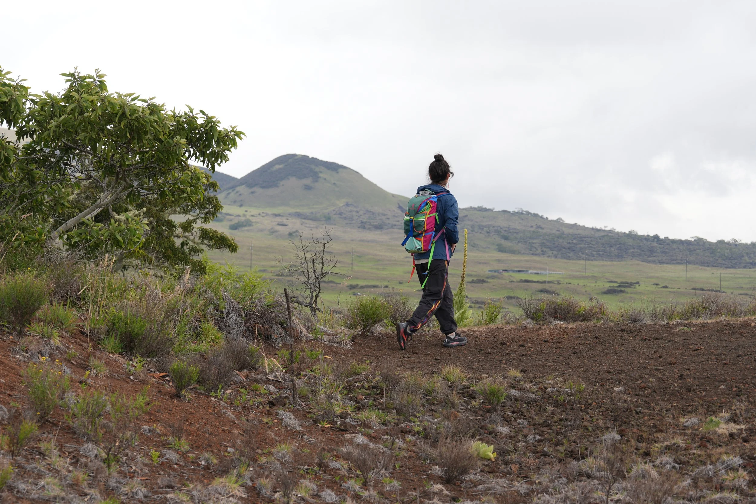
This past March, the second Kōlea Institute cohort spent nine days on Hawaiʻi Island. Our cohort was welcomed into landscapes and ongoing stewardship work by community partners across Kona and Hilo. High school students from Angoon, Alaska and university students from the University of Alaska Southeast and Hawaiʻi Community College’s Pālamanui and Manono campuses worked side by side.
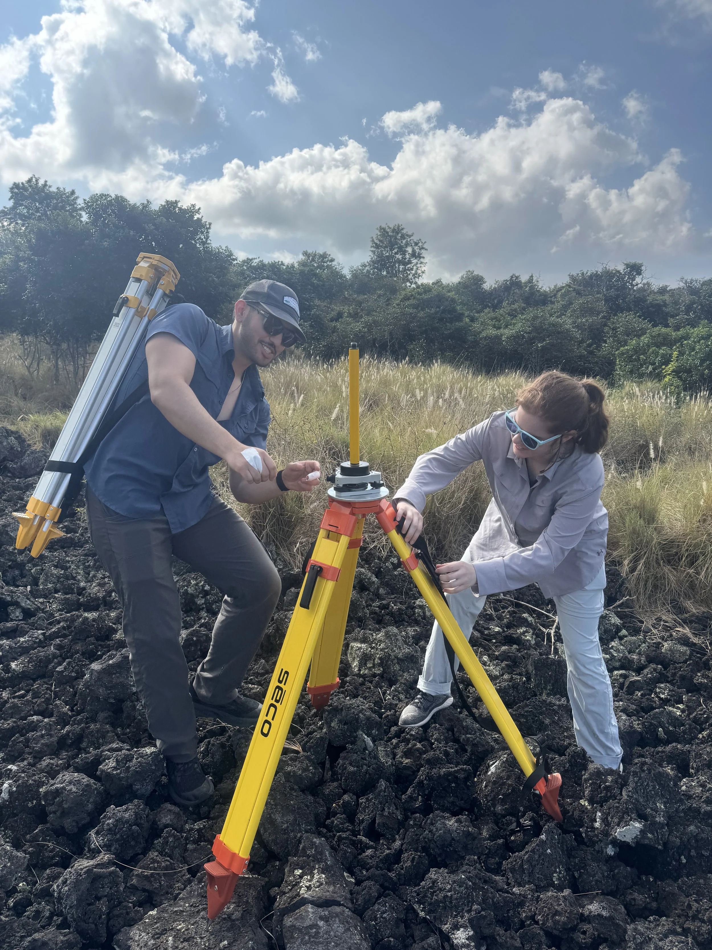
Participants learned drone remote sensing, differential GPS, LiDAR, and photogrammetry in active landscapes, guided by the people whose knowledge of those places runs deep.
-
Alaska field component and curriculum. A growing cross-Pacific network.