
The Kōlea Institute
The Kōlea Institute is an independent educational consortium that includes the University of Alaska Southeast, Hawaiʻi Community College, and the University of Hawaiʻi at Hilo, alongside Alaska Native and Native Hawaiian community members, organizations, and schools whose knowledge and stewardship are at the center of this work.
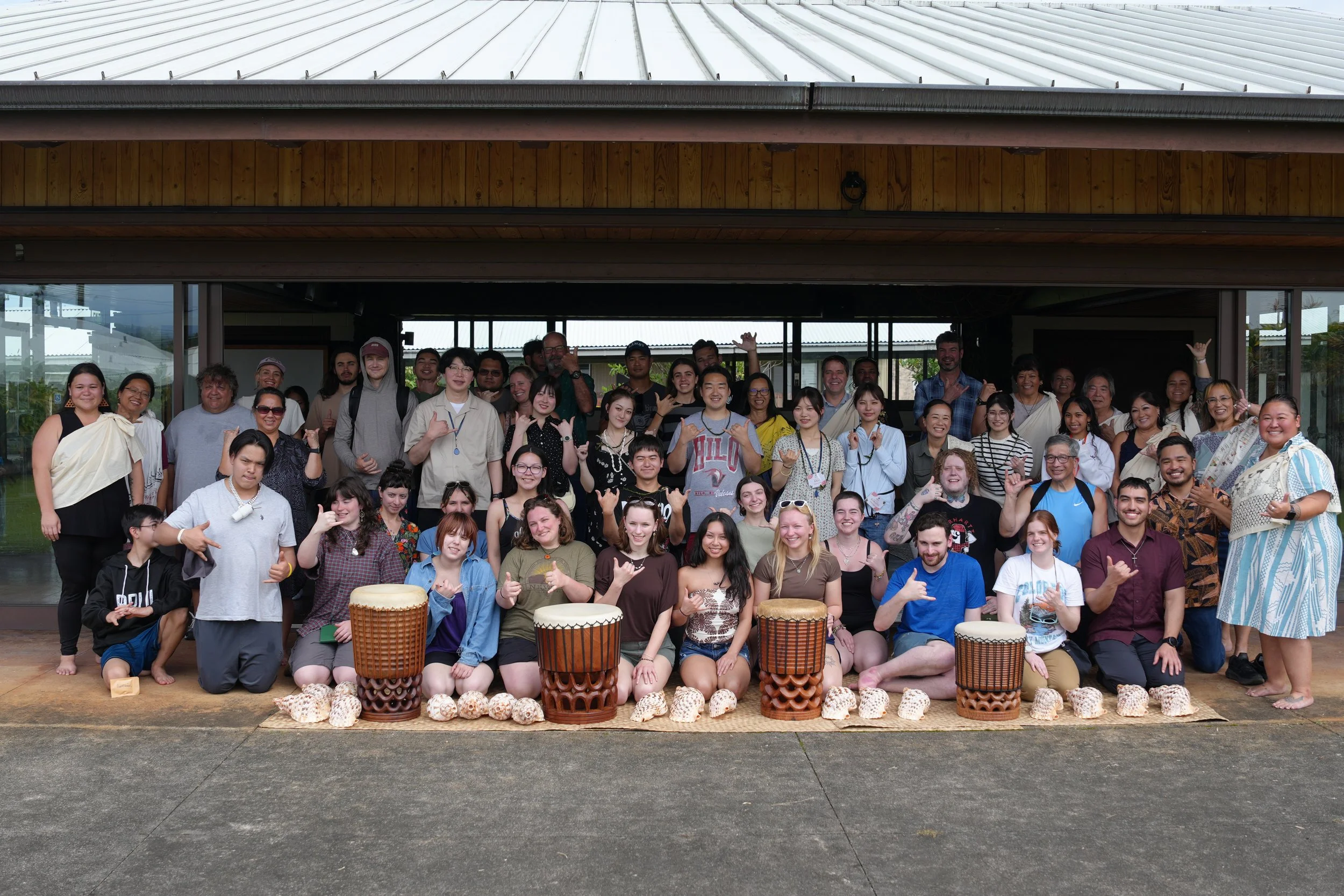
We are a small program doing substantive work. Our focus is on building a durable educational pathway in geocultural science: one that is community-led, technically rigorous, and designed to expand STEM pathways.
-
Our mission is to deepen integration among Alaska and Hawaiʻi institutions, foster the training of local practitioners and the education of a new generation of rural and Indigenous students in emerging environmental geotechnologies, and advance the utility of remote sensing science in service of coastal community resilience and self-determination.
-
The institute incorporates a community-based and service-learning framework — designing and implementing joint student and workforce training opportunities around critical mapping and inventory needs of community organizations facing real environmental and cultural resource challenges.
-
As a regional end user organization, the institute:
Sponsors technical community training and student-workforce development centered on emerging geotechnologies, including UAV-based remote sensing, visualization, and analytical approaches.
Employs participatory data collection to co-produce information that improves the usability and downscaling of environmental remote sensing data for coastal communities — keeping data sovereignty with the communities who generated it.
Promotes knowledge exchange across the Pacific through case studies and conversations that explore the applicability of these technologies for community-led capacity building.
What is Geocultural Science?
Structure from motion. Understanding from relationship.
Geocultural science is an emerging cross-disciplinary framework for understanding landscapes as simultaneously ecological, geological, cultural, and social, and for applying geospatial technologies in ways that are accountable to the communities whose places are being mapped.
Just as photogrammetry's structure from motion technique requires multiple viewpoints to build an accurate model, you cannot understand a landscape, a knowledge system, or a community from a single vantage point. Conventional science has often tried, from a fixed and supposedly objective position. Geocultural science takes shape when perspectives meet, when inquiry is situated, relational, and in motion. Drones, LiDAR, differential GPS, and photogrammetry are powerful tools for environmental documentation and stewardship, but the knowledge that gives those tools meaning lives in people, in communities, in oral histories and land practices that precede any instrument or map. The Kōlea Institute is building this framework through field-based practice across Alaska and Hawaiʻi, and across both directions of the Pacific, in direct partnership with communities whose relationships to these landscapes long predate the program.